This system is for users who care about the weather in the highway which he wants to enter. Whole system uses Struts as its framework and Oracle as its DB server. From the server, it read a lot of data files, and after analyzing these data and organizing them to logic data (Of course with some complex calculate), finally show on the web page.
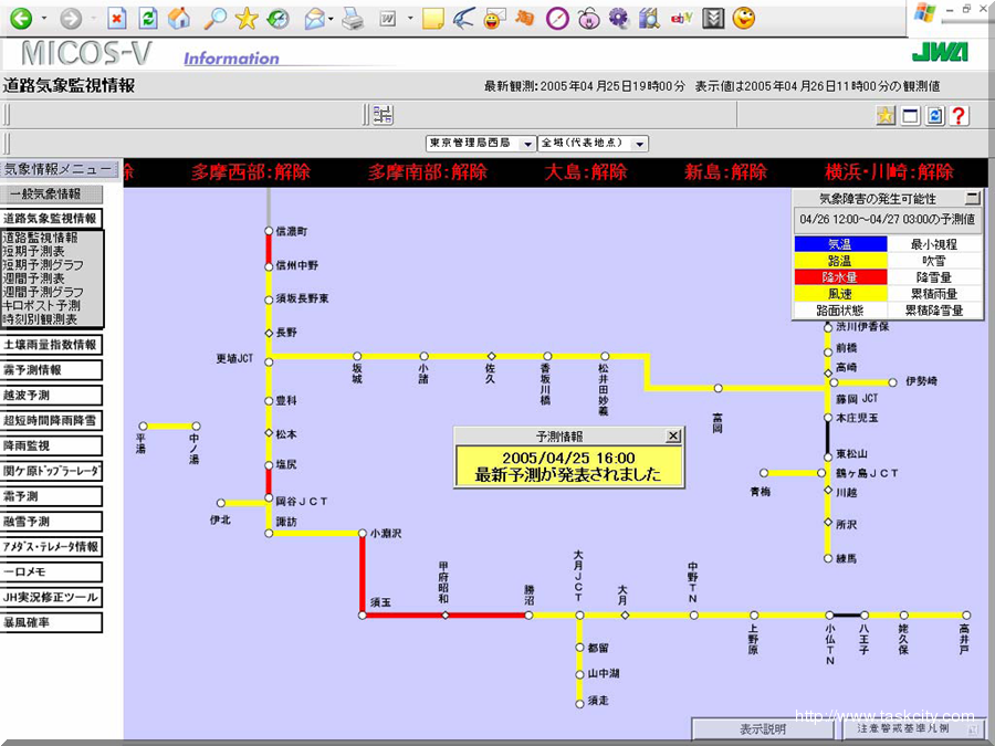
All maps in right frame are got from the DB, and described as a SVG file, so the length of each road can be configured. Click each map can come in this area’s information page to view the details...